OsmTransport: Some network in Europe
Par René-Luc D'Hont le jeudi 17 septembre 2009, 15:26 - Système d'Information Géographique (SIG) - Lien permanent
Last post on public transport network available in OpenStreetMap and visible in OsmTransport.
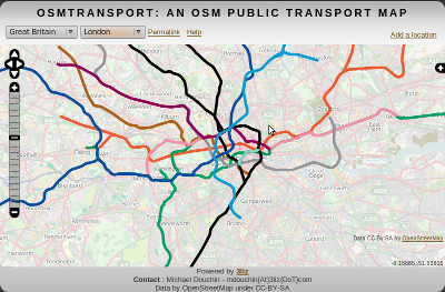
London subway network:
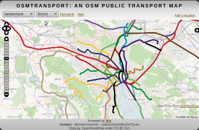
Zürich tramway and S-bahn network:
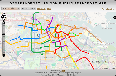
Amsterdam tramway and subway network:
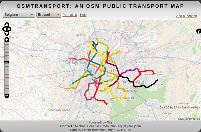
Brussel tramway and subway network:
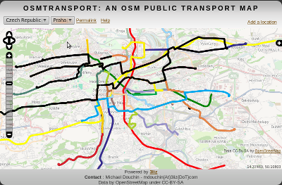
Praha tramway and subway network:
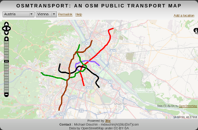
Vienna subway network:
Commentaires
I tried to add an area. I got the fiollowing message:
"The area is too big. Please draw a rectangle with an area smaller than 5000000000.
Your rectangle area is : 4858067829.018574"
By my reckoning, 4858067829.018574 < 5000000000.
I'll review the code!